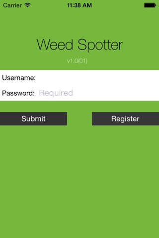


Weed Spotter app for iPhone and iPad
Developer: Environment and Planning Directorate
First release : 21 Jun 2014
App size: 0 Bytes
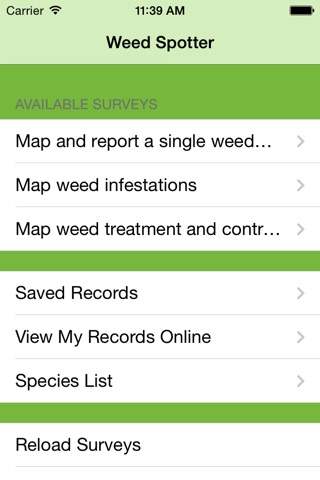
The Atlas of Living Australia’s ACT and Southern Tablelands Weed Spotter application allows you to:
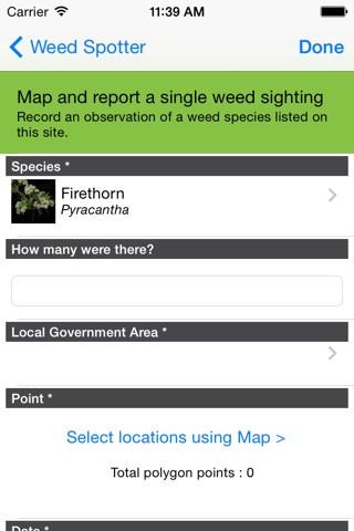
■ map weeds in the field, including what species; where it occurred; when it was sighted; and the density of the infestation;
■ map weed control effort, including the target weed; how it was controlled; when the control work was done; and its effectiveness;
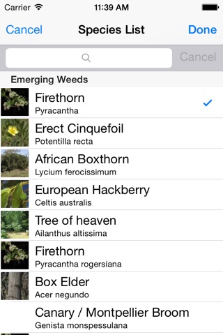
■ identify difficult to identify weeds, including new and emerging weeds, using the Lucid-based custom-designed regional Weed Identification Key or the Atlas of Living Australia resources.
The app downloads all field-based mapping into the ACT and Southern Tablelands Weed Spotter portal. Over time, as we map more weeds and weed control effort the portal will allow us to:
■ track changes in weed occurrence over time and at different sites;
■ track weed control efforts;
■ provide an early warning of new and emerging weeds coming into our region.
By understanding what is happening to weeds in our region we can prioritise and collaborate to control weeds and prevent new and emerging weeds from becoming a problem.